
Apple Maps has come a long way since it was first introduced in 2012. Over the past few years, Apple has made huge investments in Maps and worked hard to make the app into a well-designed, user-friendly tool.
A full-scale overhaul of Maps was completed as part of the development of iOS 12. This means that today’s users can benefit from the app’s impressively upgraded features and functionality.
For example, with the new and improved Apple Maps, you can:
Fly over a city in 3D.
One of the coolest features of Apple Maps is the Flyover Tour. A bit like your own personal helicopter tour, the Flyover function uses sophisticated computer-generated animation to give you a unique, birds-eye view of some of the world’s most famous cities and landmarks.
To take a tour, start by searching for your desired city. If a tour is available for your destination, a Flyover button will appear at the bottom of your display. Simply tap to get flying.
If no tour is available for your chosen city, you might still be able to see 3D imagery. Switch your map to Satellite view, then tap 3D to check out high-resolution shots of your destination.
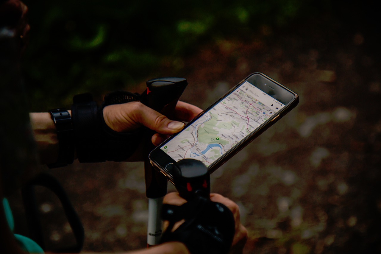
Use compass mode.
When you’re looking at Apple Maps on your iPhone, the app’s default perspective is up-for-north. But what if you’re trying to navigate on foot and you need some extra help finding your way? This is where Compass comes in. The hidden Maps mode transforms your device into an active compass.

To enable Compass mode, tap on the arrow icon to indicate your location, then tap once more to activate the compass. Now the map will rotate as you move your body, so you’ll always know which direction you’re heading in.
Send directions to your iPhone from your computer.
Many users prefer to plan a driving route on a computer before switching to their iPhone for directions during the actual journey. Fortunately, it’s easy to send directions directly to your iPhone from your laptop or desktop.
When you have your particular route or destination displayed on Apple Maps on your computer, simply click on the Share button (you’ll see it at the top of your screen). As long as your iPhone is registered with the same Apple ID, it will show up as an option. Select it from the list, and the planned route will appear on your mobile device.
Hail a ride or make a restaurant reservation.
One of the most useful and convenient things about Apple Maps is its Extensions feature. Extensions integrates supported third-party apps with Apple Maps. This means that you can use apps like Uber, Lyft, and OpenTable right in Maps—without having to exit and open up a separate app.
To take advantage of this feature, all you need to do to is enable the desired extensions in your Map Settings menu. Then, the next time you’re looking up a destination in Maps and decide it would be too far to walk (for example), just tap the Ride button that’s displayed at the bottom of the screen to book a ride through Uber or Lyft.
Similarly, if you tap on a restaurant icon in Maps, an option for reservations through OpenTable will pop up right alongside basic location information.
Search with a single tap.
Apple Maps’ “Nearby” feature is very handy when you’re out and about and you want to get a quick idea of what businesses are close at hand. Make sure Location Services is enabled on your device, then simply tap the search bar once.
You’ll see several categories pop up, including Popular, Restaurants, Groceries, Coffee Shops, and Fast Food. Tap on an icon to see a list of nearby sites in that category, or just scroll down for a look at all the locations you’re closest to.
Export maps as PDFs.
In most situations, using Maps on your phone is all you need. Sometimes, however, it’s helpful to be able to save a map as a PDF. Perhaps you need to print a physical map to take somewhere without internet connectivity, or you need to e-mail a map to a friend who doesn’t use Apple Maps. Fortunately, Maps gives you the option to export maps as PDFs. Open your File menu and select Export as PDF. It’s as easy as that.
View detailed airport maps.
If you’re a frequent traveler, you’ll love the detailed airport maps available through Apple Maps. These maps are available for roughly 60 of the world’s biggest airports. These include Beijing, Sydney, New York’s JFK and LaGuardia, and London’s Heathrow and Gatwick airports.
This feature provides a wealth of useful information, such as restroom locations and lists of restaurants that are located past security. These indoor maps are also available for many major shopping centers in the US, Canada, and some European cities.