
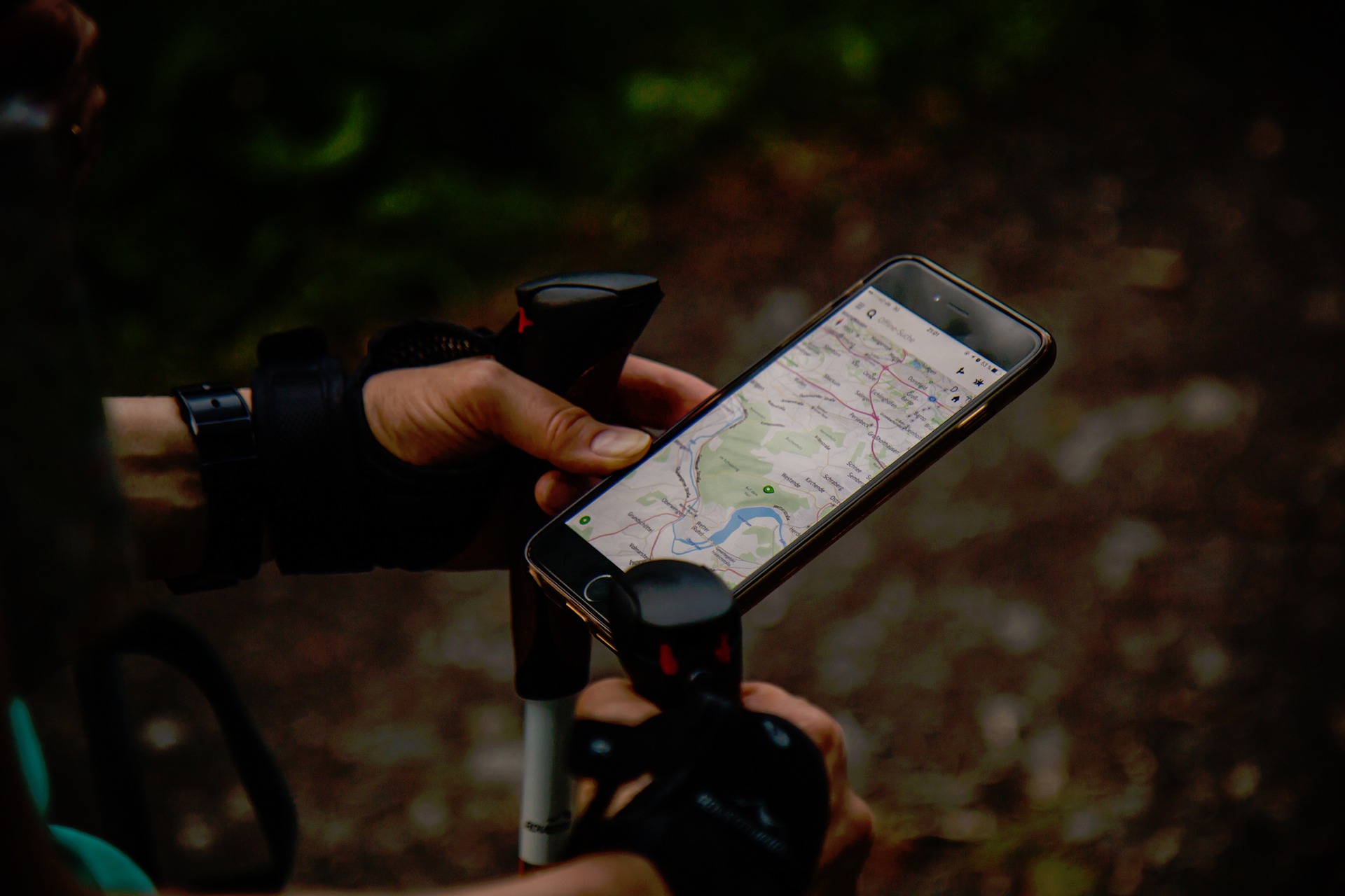
When the US military was first developing the Global Positioning System (GPS) in the 1970s, few people would have imagined that less than four decades later, we’d all be walking around with sophisticated GPS devices in our pockets and purses. Today, the vast majority of smartphones are equipped with GPS capabilities, which in turn has given rise to a host of incredible features and functions, like the ability to get directions to anywhere from your current location, receive a reminder message about something whenever you arrive at a specific location, or simply find your lost phone.
But while most smartphone users are well acquainted with what GPS can help them do, fewer know the facts about what GPS is and how it works. If you’re one of them, read on for a basic guide to this amazing navigation system.
What is GPS?
For centuries, people have been attempting to develop an accurate navigation system for travel around the Earth via land, water, or air. The Global Positioning System is the culmination of these efforts. Highly precise and easy to use, GPS is a satellite-based navigation system that can be used anywhere on the planet, at any time of day, in any weather conditions, with no associated subscription fees or setup charges.
How does GPS work?
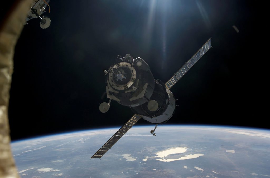
A satellite navigation system like GPS requires three main components in order to function: a network of satellites, a base station and ground control network somewhere on Earth that manages the satellites, and a receiving device like a smartphone.
The GPS satellite network is made up of at least 24 active “baseline” satellites continuously circling the Earth; typically, up to 30 satellites are in orbit in order to provide backup in case an active satellite fails. About 12,000 miles above us, each of these satellites orbits the planet twice a day, following one of six orbit paths that have been precisely designed to ensure that every place on the Earth’s surface can receive a continuous signal. The satellites are tracked through the Ground Control Network, which includes the Master Control Station at the Schriever Air Force Base outside Colorado Springs, Colorado, and six US Air Force monitor stations spread around the globe longitudinally.
As the satellites orbit, each one is constantly transmitting a unique high frequency radio wave signal out toward Earth. The receiving device (your smartphone) is “listening” for these signals. When the device receives a signal, it can decode and compute where you are in relation to that particular satellite. By picking up signals from three or four different satellites, the receiver can calculate your precise location on Earth through a process called “trilateration.”
Trilateration? What’s that?
Trilateration is a more sophisticated version of triangulation, the age-old way to navigate using visual landmarks and a map. A simple explanation of triangulation is that if you can see a landmark from your location and guess how far away from it you are, then you could be at any point on a circle whose radius is that estimated distance. If you’re able to repeat this with a second landmark, then you must be at one of the two points where the two circles intersect. A third landmark allows you to narrow your position to a single point.
Trilateration uses this same approach, but it’s a bit more complex because the “landmarks” in question are the orbiting satellites. With trilateration, the calculations are carried out in three dimensions, so instead of calculating your position on three intersecting circles, as in triangulation, your location is being calculated using three overlapping spheres. If your device is able to access a signal from a fourth satellite, your location can be calculated to an extremely high degree of accuracy, including your altitude.
Where is GPS headed?
While it’s certainly handy to be able to find your lost smartphone, the GPS applications that we’re likely to see in the future go far beyond that. One of the biggest GPS-enabled advancements on the immediate horizon is the development of autonomous vehicles, or self-driving cars. With GPS technology, these vehicles will be able to know their own location as well as the location of nearby vehicles at all times, thus potentially making driving both faster and safer.
Other fun facts about GPS:
Although it’s known around the world by its acronym, GPS has a different official name from the US Department of Defense: NAVSTAR.
The launch of the first GPS satellite took place in 1978.
The 24 satellites needed to make up the GPS satellite network are collectively known as a “constellation.”
The lifespan of each GPS satellite is about 10 years, so replacement satellites are continually being built and launched into orbit.
Solar energy powers GPS satellites, which are equipped with solar panels. However, each satellite is also outfitted with backup batteries in case of a solar eclipse.