When it was first introduced in 2012, the Apple Maps app was little short of a mess, plagued by general inaccuracy, cities and landmarks that were mislabeled or non-existent, and a lack of transit directions. To make matters worse, iOS users had no major reliable alternative, as Apple had chosen to abandon Google Maps on iOS 6—at that time, the newest version of iOS—in favor of its in-house solution. The whole situation proved to be such a fiasco that Apple’s CEO Tim Cook was forced to issue a public apology.
Six years later, it might be time to give Apple Maps another chance. This is because the error-plagued app has been given a full-scale overhaul as part of the development of iOS 12 (the new iOS was released as a public beta in June 2018, and will be available as a final version later this year). Over the past few years, Apple has made huge investments in order to bring Maps up to par, and early indications seem to suggest that those investments might pay off.
Here are some reasons why users should consider the new Apple Maps:
No more third-party data
Many users were quick to blame Maps’ shortcomings on the hodge-podge of third-party sources the app relied on for data. When building the original version of Maps, Apple sourced its data from a patchwork of partners including OpenStreetMap and other geo-data brokers. When the app was launched and critiques began pouring in, Apple signed on a collection of additional data providers to help fill critical gaps in location, point-of-interest, and business data; however, with such a range of providers, it was virtually impossible for data to be changed, corrected, or updated consistently and in a timely manner. The result of this messy mash-up was an app that was full of holes and, consequently, not reliable for navigation or directions.

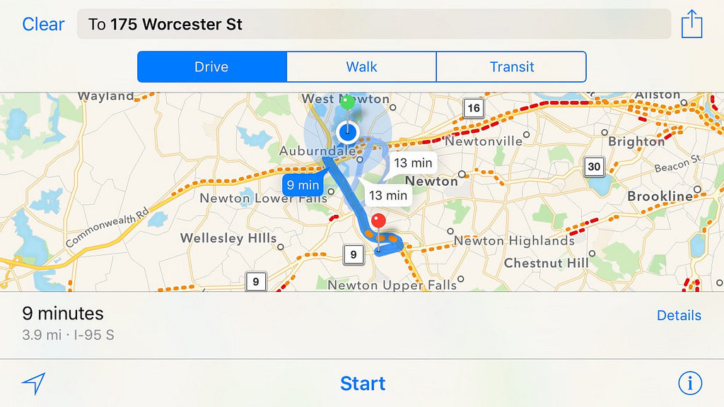
Image by Ian Lamont | Flickr
To solve this problem, Apple realized that the only thing to do was to scrap third-party data completely and build all its own map data from the ground up. And this is exactly what the company has been doing through its Apple Maps vans, which have been roaming the streets since 2015. These state-of-the-art, data-gathering vans are equipped with eight cameras, GPS devices, and four Light Detection and Ranging sensors (these LiDAR sensors generate precise, three-dimensional information about the shape and characteristics of the Earth’s surface). A device attached to one of the van’s rear wheels ensures that distances and images are properly recorded, and a Mac Pro bolted to the floor inside the van connects both to a selection of solid-state drives (or SSDs, for data storage) and to a dashboard-mounted iPad that runs the actual map-capture software.
As the driver maneuvers the van, an accompanying operator makes sure that the correct route is being fully covered and that images are being collected properly. When the drive-through of the route is complete, the SSDs that have saved the gathered data are encrypted with one key, removed from the van, and securely delivered to an Apple data center. Here, the data is encrypted with another key, and technicians strip out private information, like faces and license plates.
Privacy is paramount
These encryption and security measures are just one example of the heavy emphasis that Apple is placing on privacy as it builds its new and improved version of Maps. And experts agree that it’s good to see Apple taking privacy so seriously given that another important source of in-house data for the Maps app are the millions of iPhone users all around the world. Apple is tapping into the power of all these devices to passively and actively improve its map data, but the company is taking great care to do so in a way that keeps the data anonymous and preserves users’ privacy.
For example, no data on a single trip from point A to point B is ever transmitted directly to Apple. Instead, the company gathers subsections of this data: individual segments that are sliced out of a given navigation session. These random data segments are sent to Apple in a completely anonymized form, so there’s no way to tell if a trip was taken by a single user.
The future of Maps
Although the improvements to Maps will be rolled out only gradually—the San Francisco Bay Area is the first region to be covered, followed by Northern California in the fall and the rest of the United States next year—experts are already talking about what the future of this upgraded version of Apple Maps might be. The high accuracy of the location information means that sometime soon, you might be able to get individualized driving directions based on which lane you’re currently in: for example, Maps could prompt you to change lanes in order to avoid a traffic jam a few miles down the road. Moreover, the highly precise data found in the new Apple Maps is the perfect foundation for augmented reality applications, which are poised to completely transform mapping and navigation as we know it.

